 Mother Channel Environmental, climate change news and media.
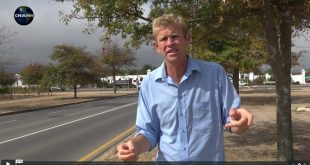
In this series, ‘Recipe for Chaos’, Jason Sole introduces the investigation of soil, waterway and ocean pollution by the chemical industry in SA, including end-users, like municipalities, farms, golf courses, etc., including the ‘How To’ of pollution identification and tackling of an industry that should know better!
The first step was to obtain clean vials or containers for the collection of water/soil samples from the various locations to be visited. The first location was a popular bathing and fishing beach on the Southern side of the Peninsula, which showed raw sewage pollution washing back in on the tide from an effluent outlet further up the beach, turning the intertidal and neritic zones (see link: Ocean Zones) of the ocean a dirty brown.
The Lourens River is about 23 kilometers (14 mi) long, flowing from the Hottentots Holland Mountains into False Bay at Strand. Its upper reaches are relatively undisturbed and are privately owned. However, the lower part of the river flows through developed areas as well as past fynbos and plantations of invasive alien trees. This natural area is threatened by pollution as well as by invasive alien weeds such as Kikuyu grass and the Black Wattle tree.[1]
At the lower end of the Lourens River, near river mouth, a concerned citizen highlights issues around the condition of the river which besides being heavily silted, awash with agrichemicals from localised farms and high levels of e-Coli, also is impacted by herbicide spraying (broadleaf weed control) in parks areas by the municipality, resulting in not only the loss of fish and amphibian habitat and life, but also causing numerous human allergic conditions, e.g. dermatitis, eye/ear irritation and eczema, sinus, exhaustion, nausea and sore throats to mention a few in the area.
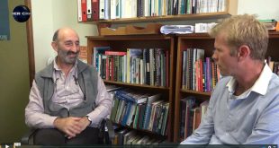
The group then visited the Palmiet dam en-route to Theewaterskloof dam, to take water and soil samples which John Turner commented on in terms of the type of vegetation surrounding the dam, which consisted mainly of fynbos and forestry type growth, requiring minimal chemical usage, however, stated that he suspects ‘chemical drift’ or ‘fall-out’ from the aerial spraying in the adjacent farming areas could be contaminating the water body and was keen to see the results of the tests on these samples.
At Theewaterskloof dam, one of the primary drinking water reservoirs for the Cape Town Metropole, incl. irrigation for farms in the Stellenbosch/Somerset West areas, water and sediment soil samples were also taken in order to ascertain the viability of the last remaining drinking water in the dam due to the low level as well as chemical contamination due to it being bordered on two sides by agricultural holdings known for doing aerial broadcast spraying on crops, etc.
In summing up, John Turner stated there would probably be a fair amount of oxidized material in the samples, but they should identify what chemical residues exist from testing. He identified a dairy farm and numerous fruit orchards bordering the dam, which would result in nitrogen and other chemical run-offs from them into the catchment area of the dam, including possible metal contaminants that exist. He noted a distinct absence of any other bird life in the area, except a fish eagle heard calling, noting with concern that the bird’s diet on fish from this water source would be contaminated with insecticides, stating a well-known fact that in other parts of Southern Africa, the eggshells of these birds broods are being seriously compromised by the use of pesticides in the regions that they frequent for water and food.
Links:
Ocean Zones Earth Science Concepts
Lourens River Under Threat– Article by Beatrice Wiltshire (20 August 2010)
About Pesticide Drift